The following post includes photos that won’t make it into my Ring race report, which should come out sometime next week. While not “good enough” for the main post, I still think they’re worth sharing. Happy Trails!!
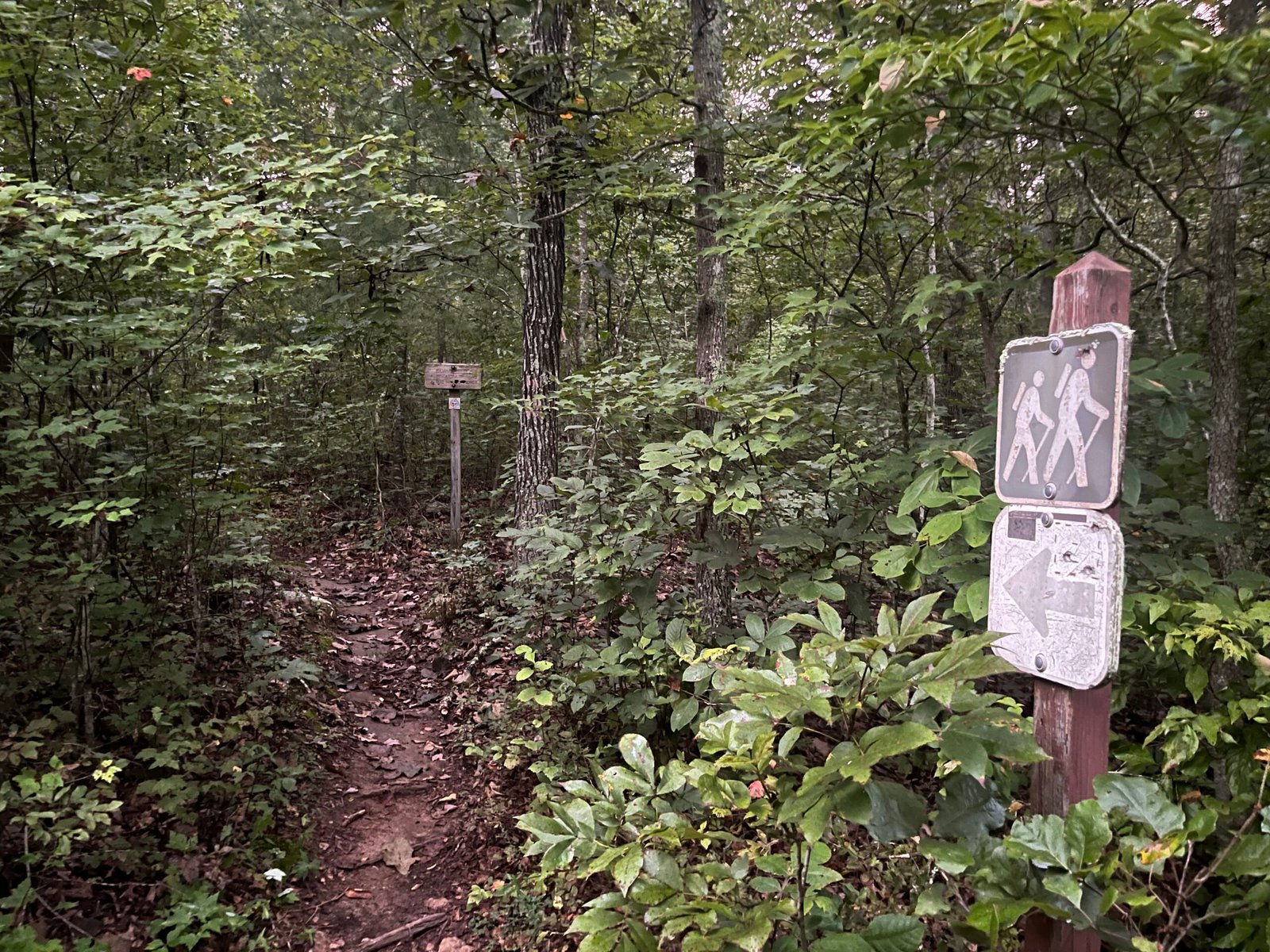
Well-worn “hiker sign” on the Orange Trail from the event’s Start/Finish at the Signal Knob parking lot.
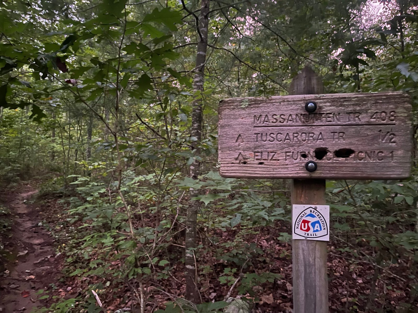
These wooden trail posts will become a familiar sight during your time on the trail.
Old Gate.
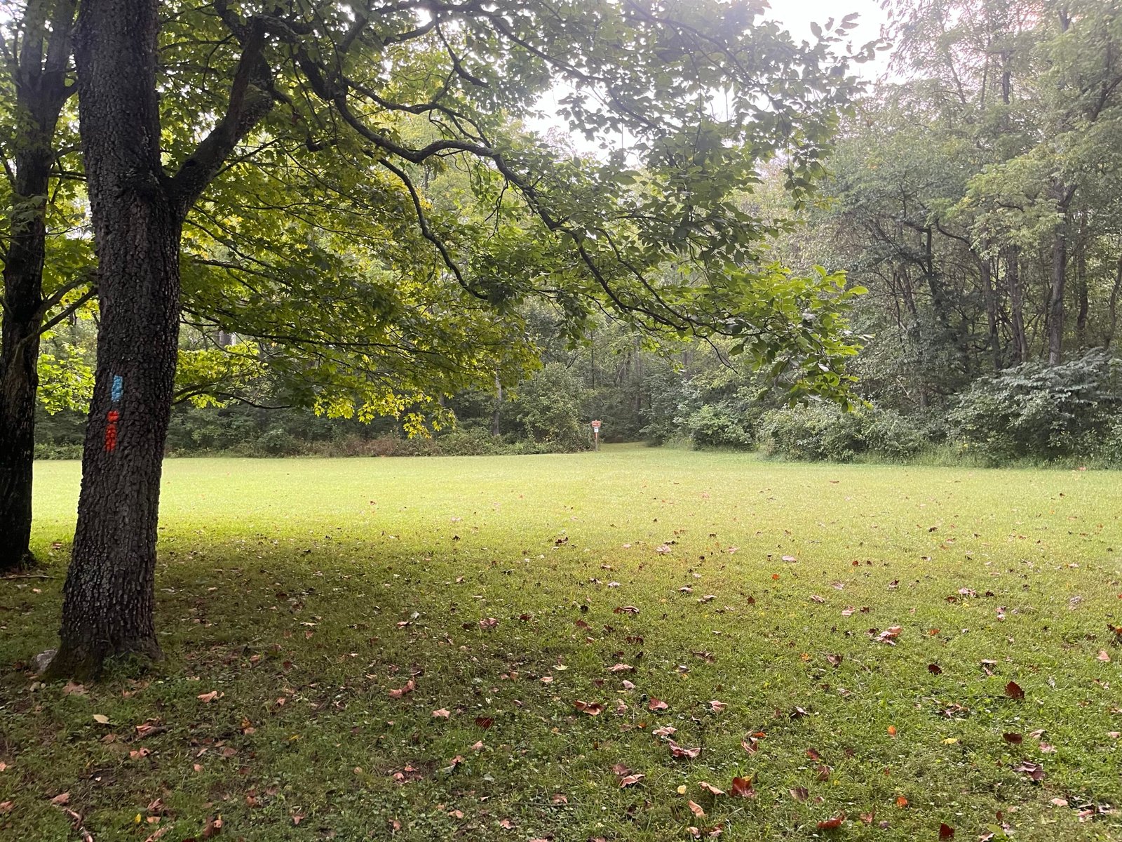
Crossing the ‘open field’ at Elizabeth Furnace in the opening mile. Probably the easiest 100 feet of the entire loop.
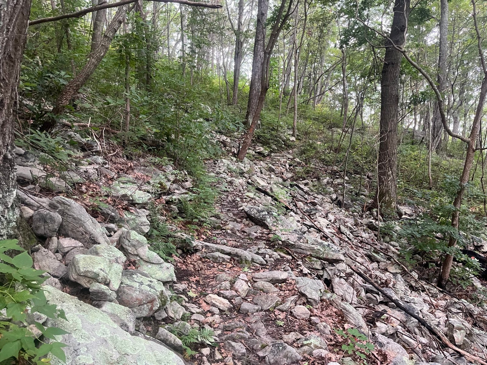
Uphill on the Orange Trail during the initial climb out of Elizabeth Furnace.
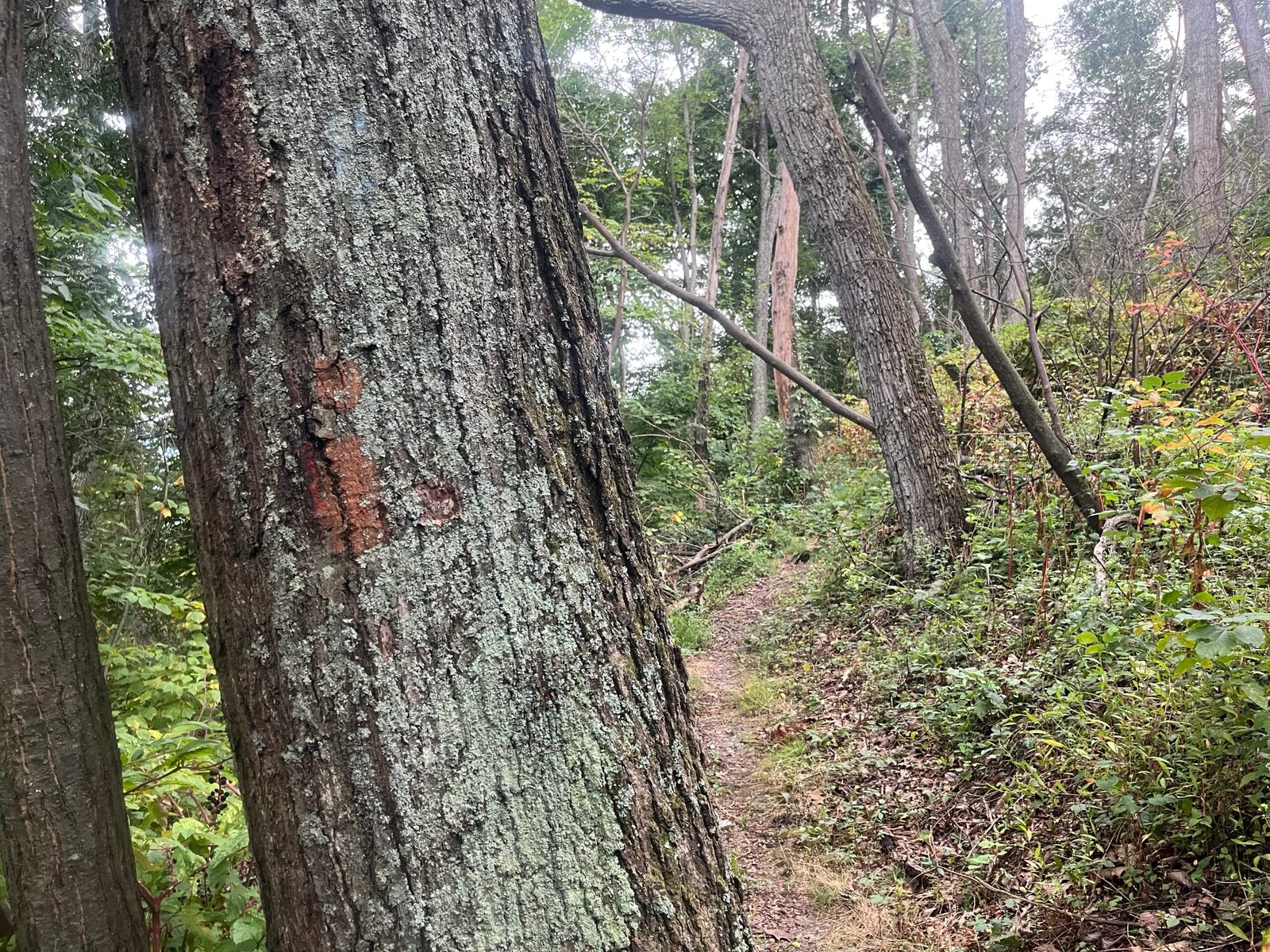
Sometimes the Orange Trail blazes are quite faded.
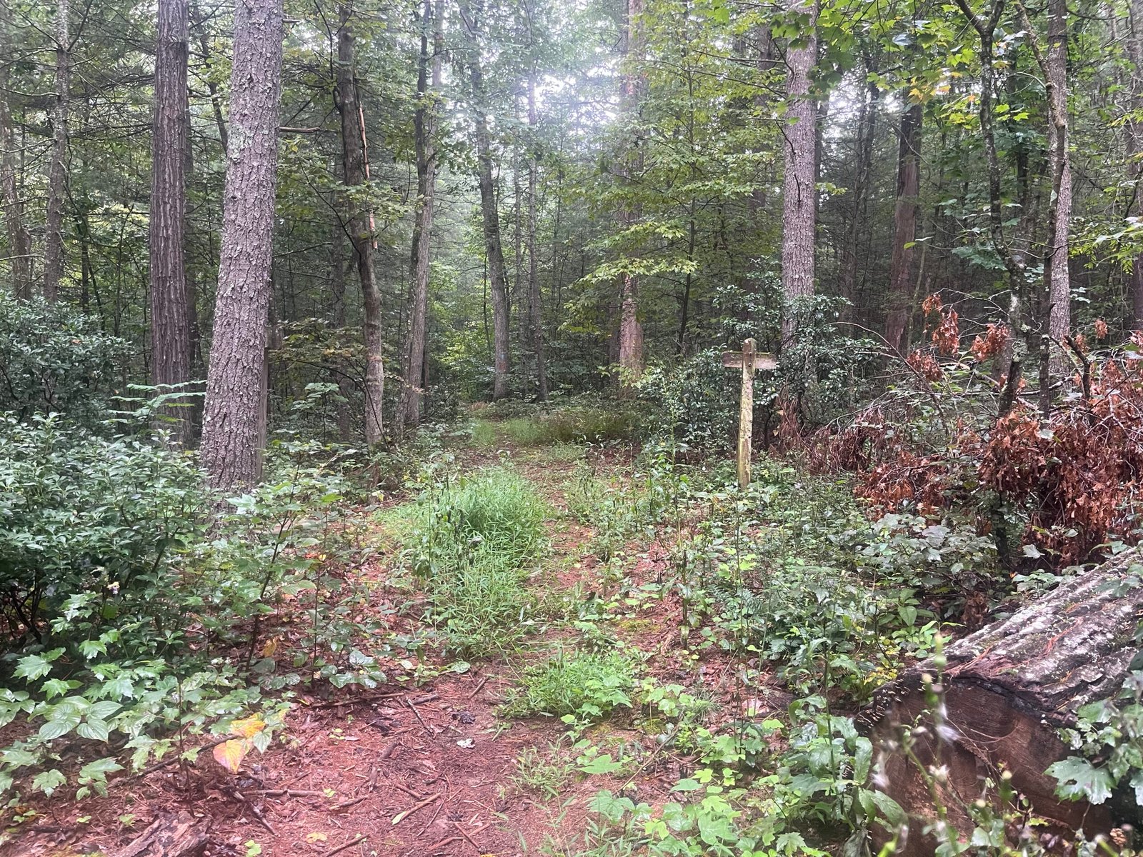
I don’t remember what I was going for here, haha.
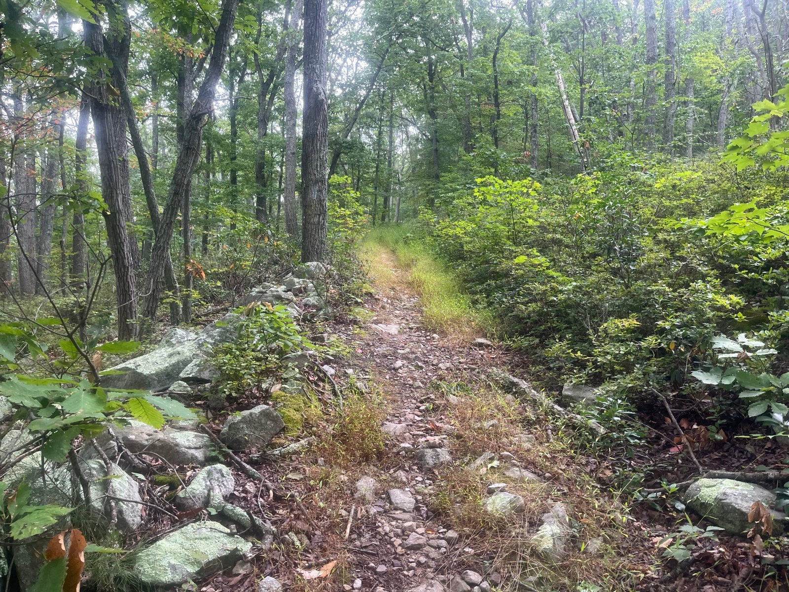
A snapshot of a less technical stretch of the trail during the first section (Before Milford).
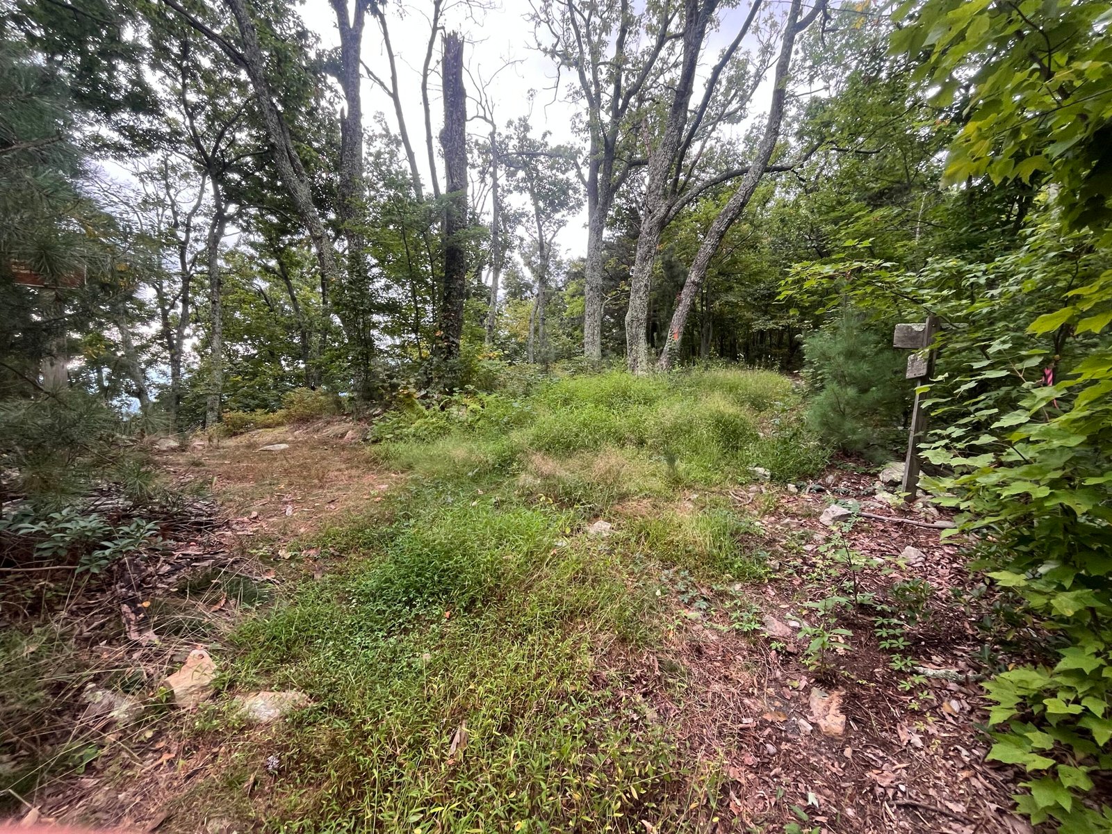
Can you guess which direction we went? (The second guess doesn’t count.)
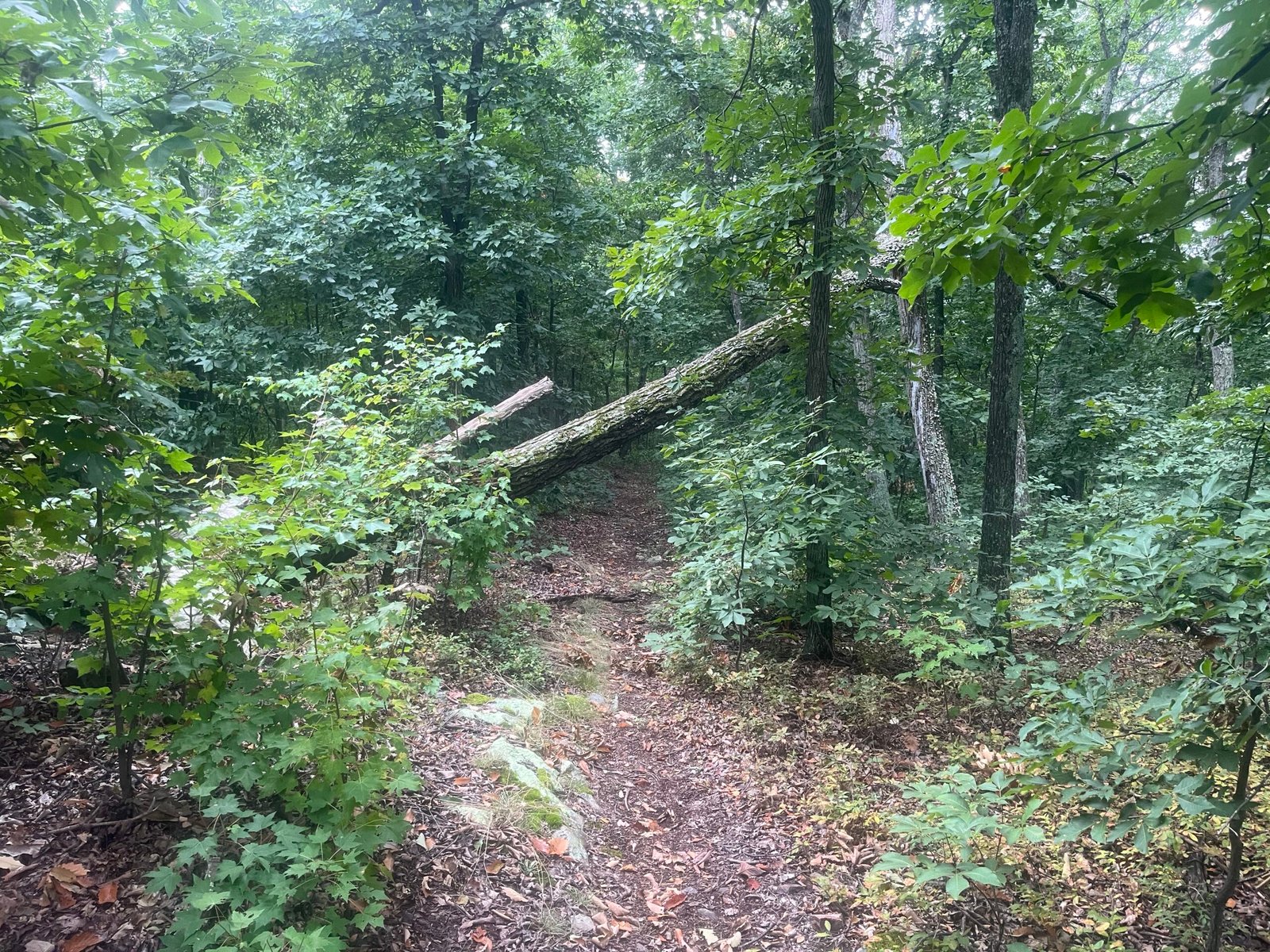
One of the many trail obstacles you will navigate on the Orange Trail.
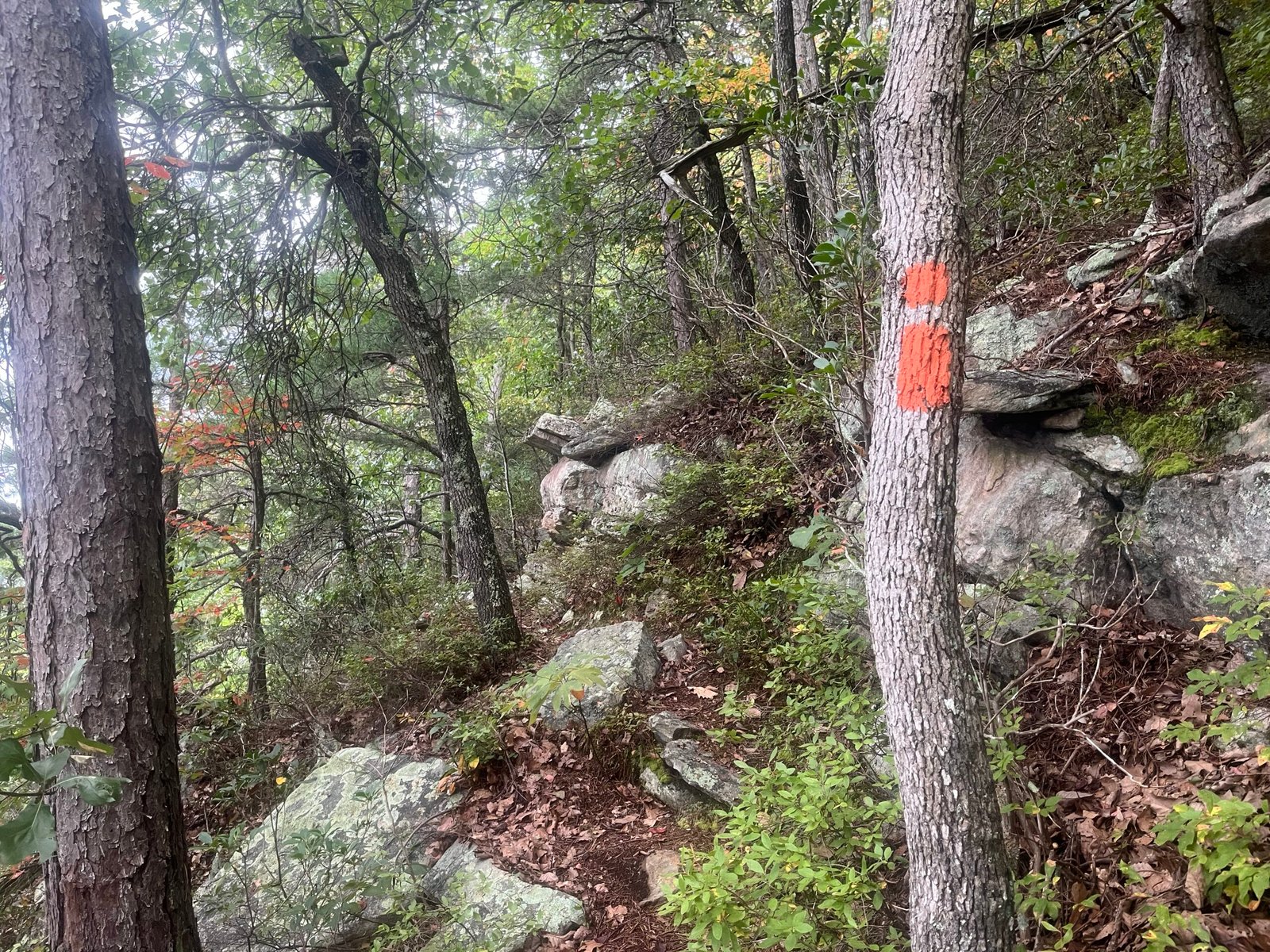
Not all trail blazes are created equal (compare to earlier post). Note the “trail” behind the blaze.
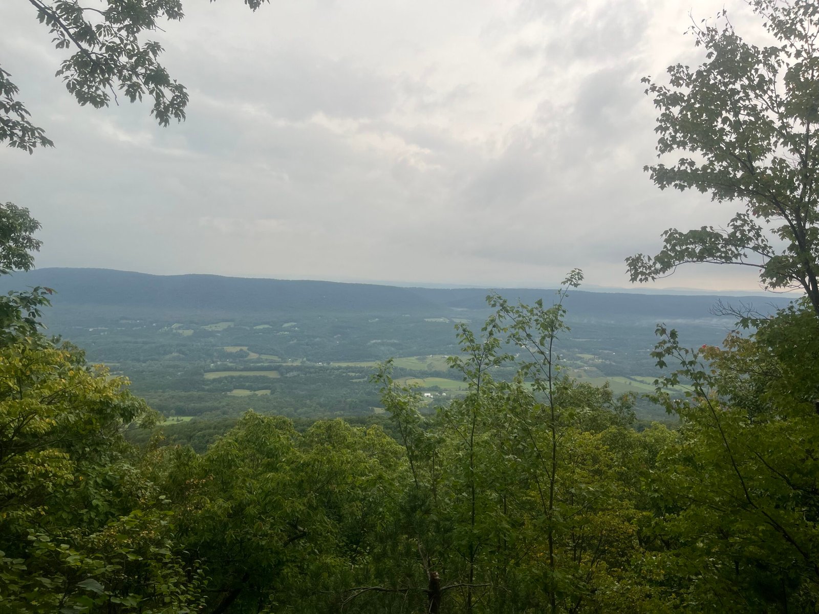
The first 25 miles have the best views on the course, so stop and take them in.
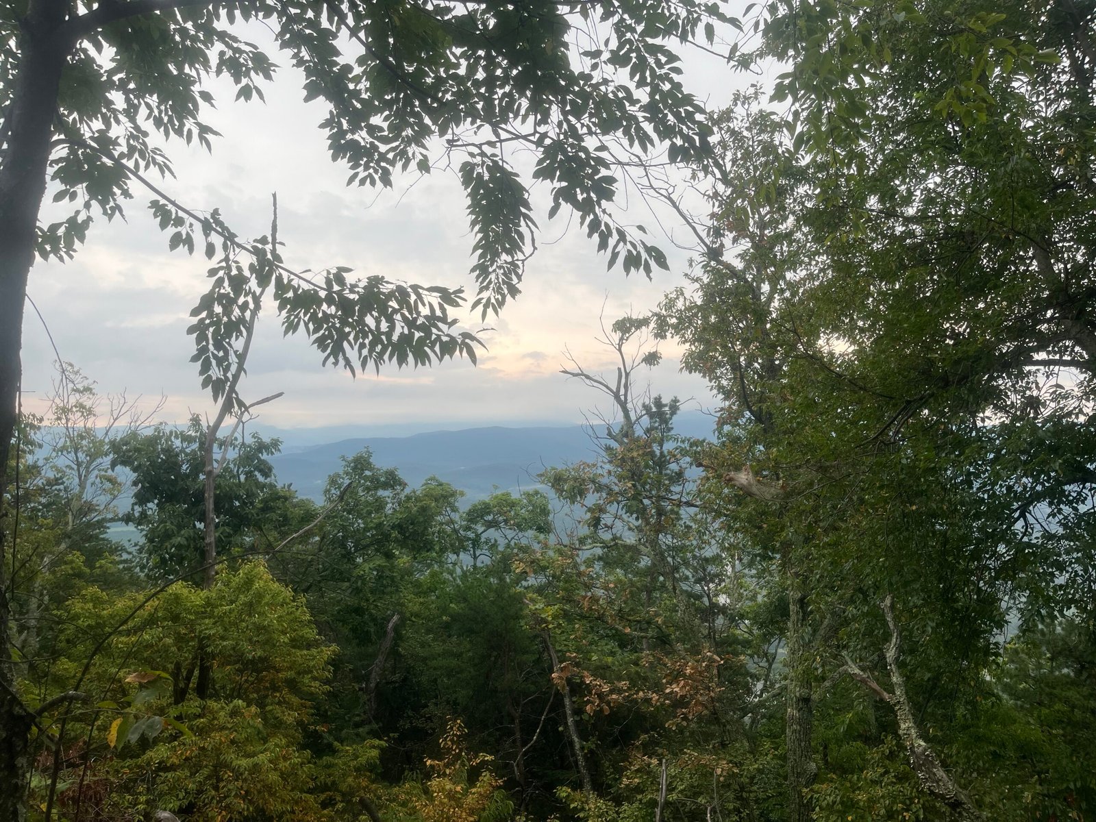
See above. Also note the tangled mess of trees.
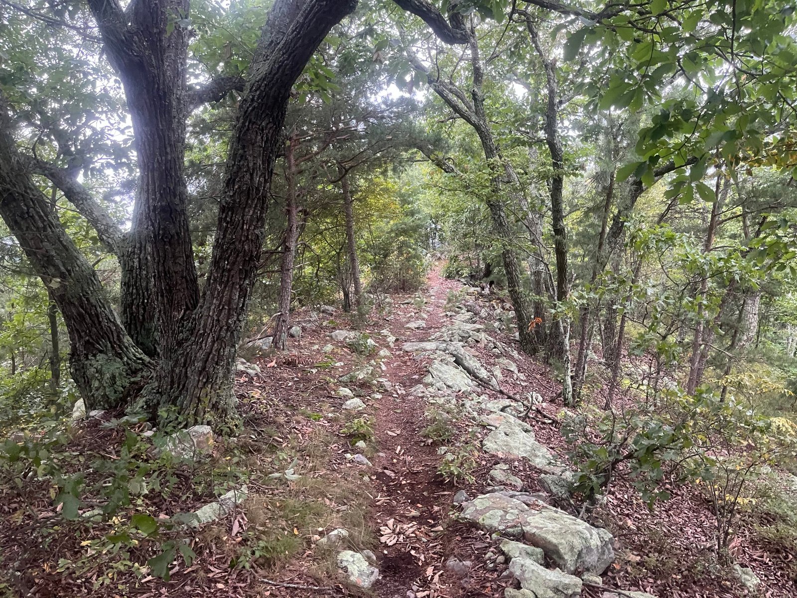
Another mild section. Take advantage of them when they present themselves.
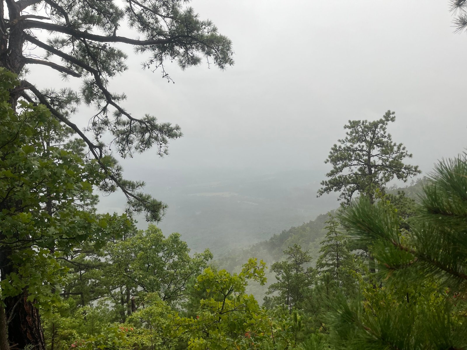
A heavy mist blankets the mountain after the day’s first thunderstorm.
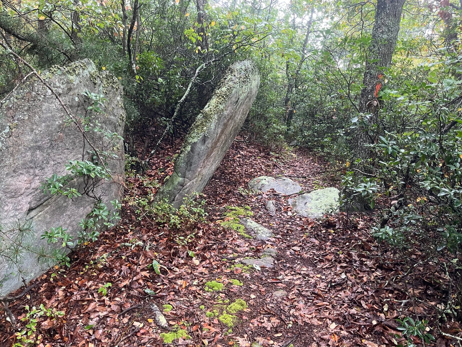
Cool rock formation on the Orange Trail.
Accidental action shot taken during the first thunderstorm.
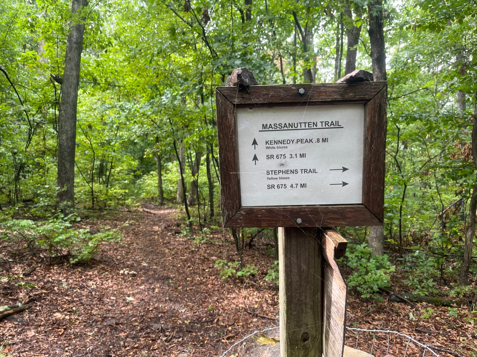
Trail sign near the end of the first 25-mile section.
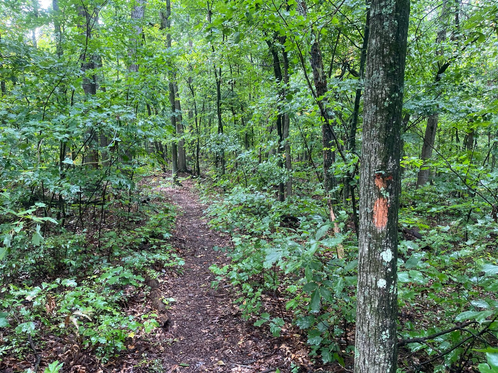
Not all the Orange Trail is a rocky mess. Enjoy the breaks when you get them.
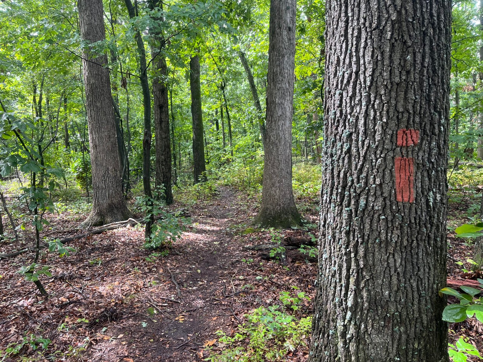
Yet another orange blaze snapshot. One of my goals this year was to get the “right” shot for this blog’s header.
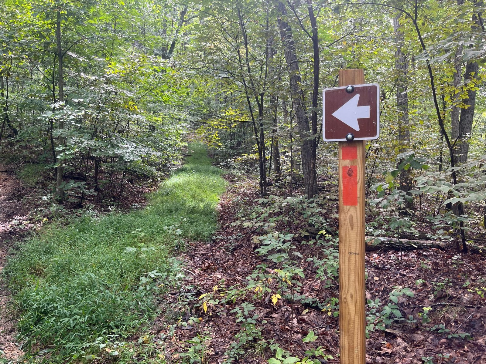
Less than a half mile to the first “full service” aid station at mile 25 at Camp Roosevelt.
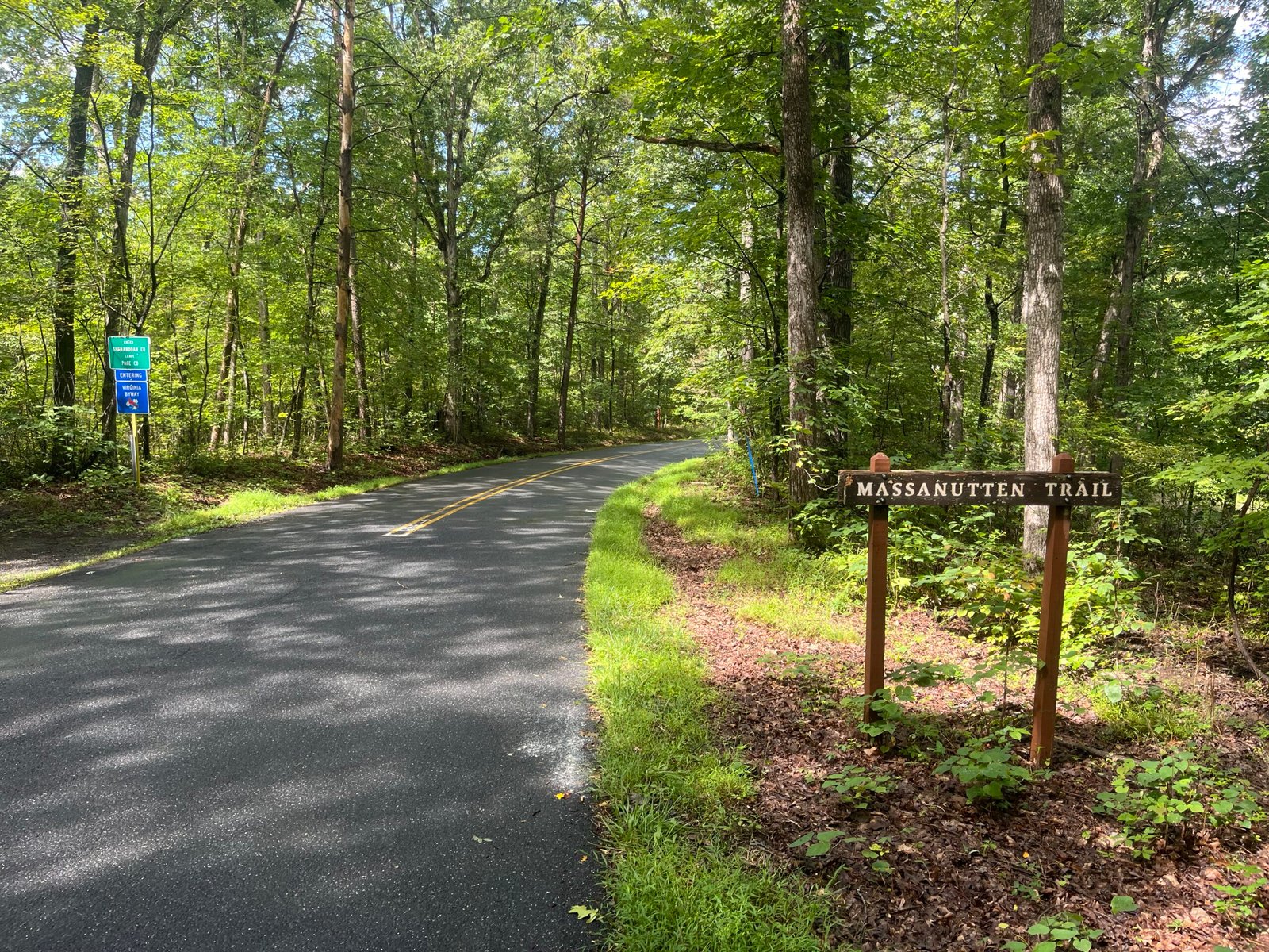
Passing the ‘Massanutten Trail’ sign on the road detour to Camp Roosevelt.
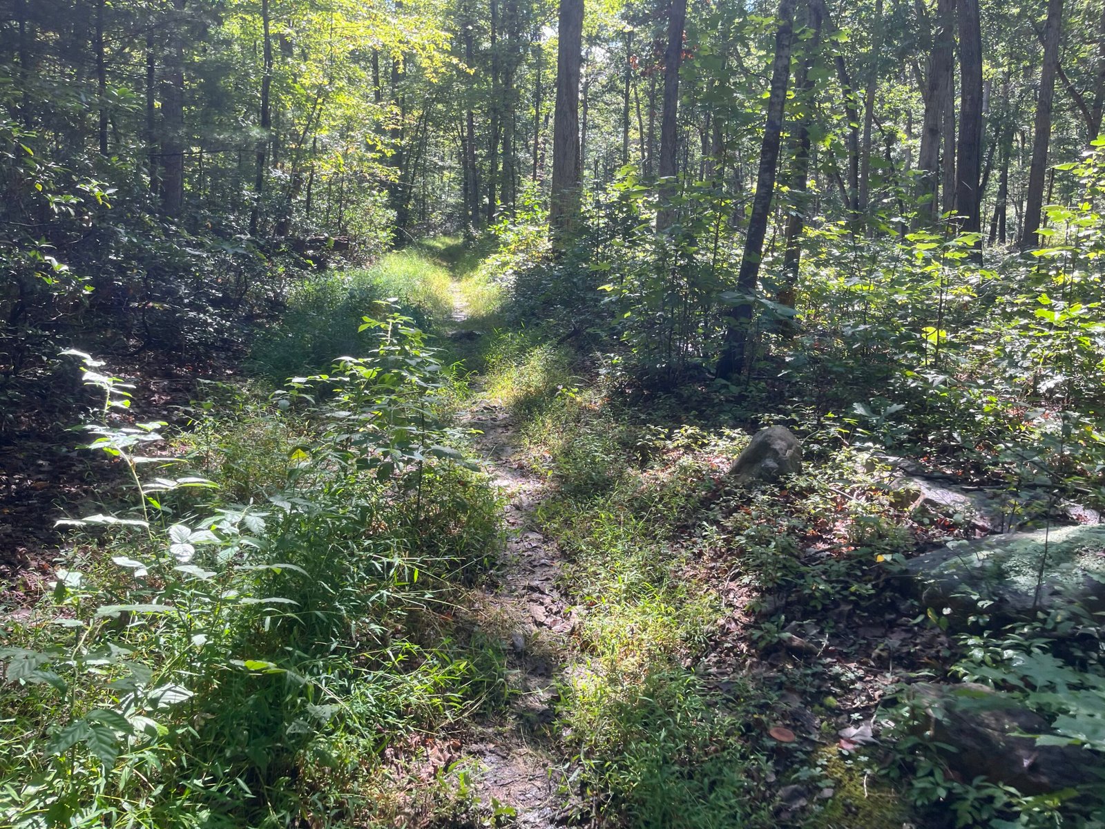
Early Duncan Hollow miles. This section is hot, exposed, rolling uphill, and overgrown. Be prepared.
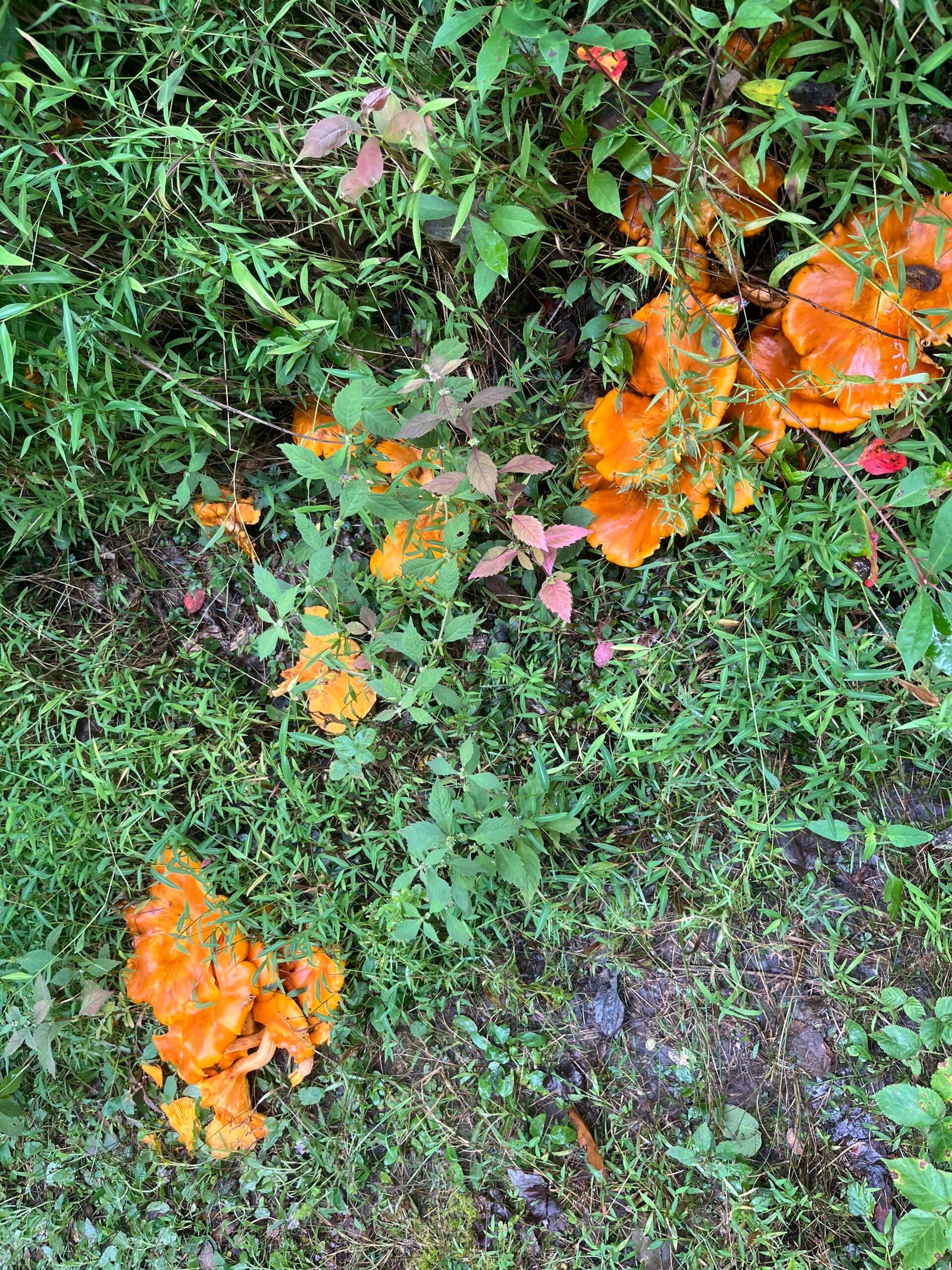
Some chicken of the woods along Duncan Hollow.
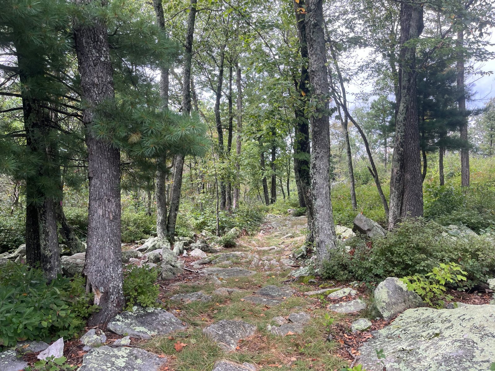
Top of Duncan Hollow. Fun descent from here to Waterfall.
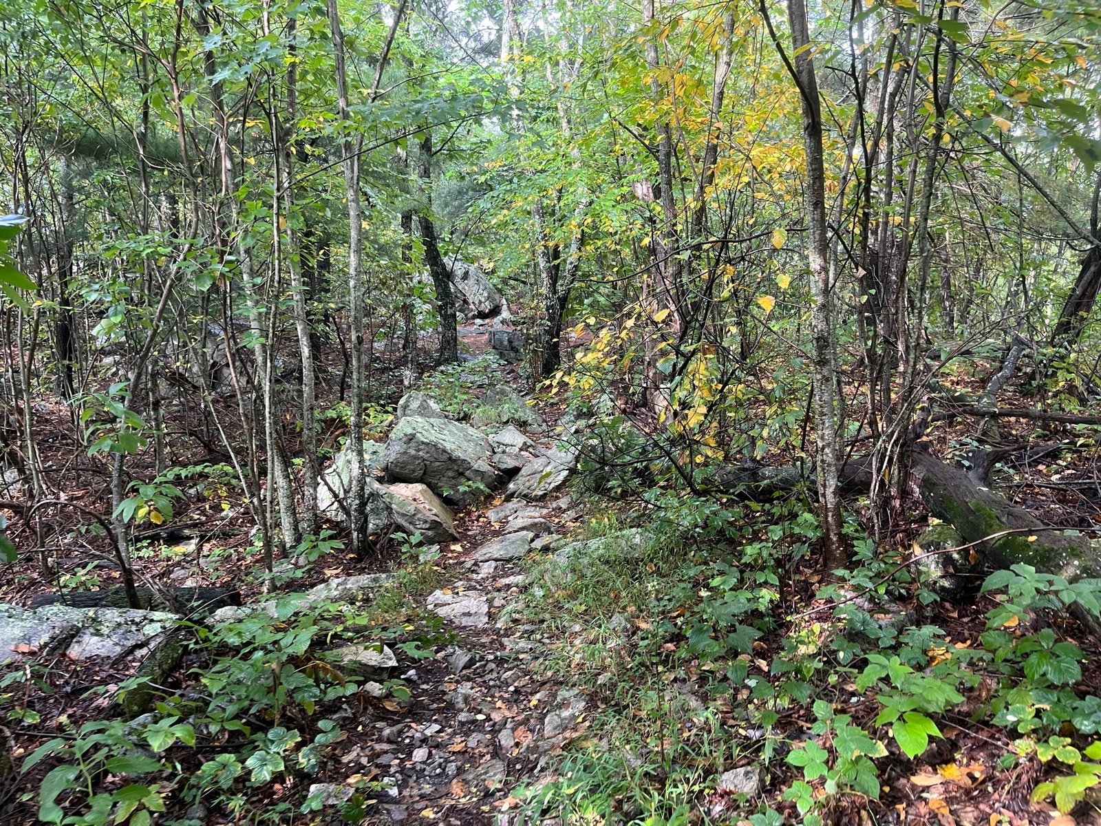
Kerns snapshot. The closer you get to the end, the worse it becomes. Don’t let the first miles fool you.
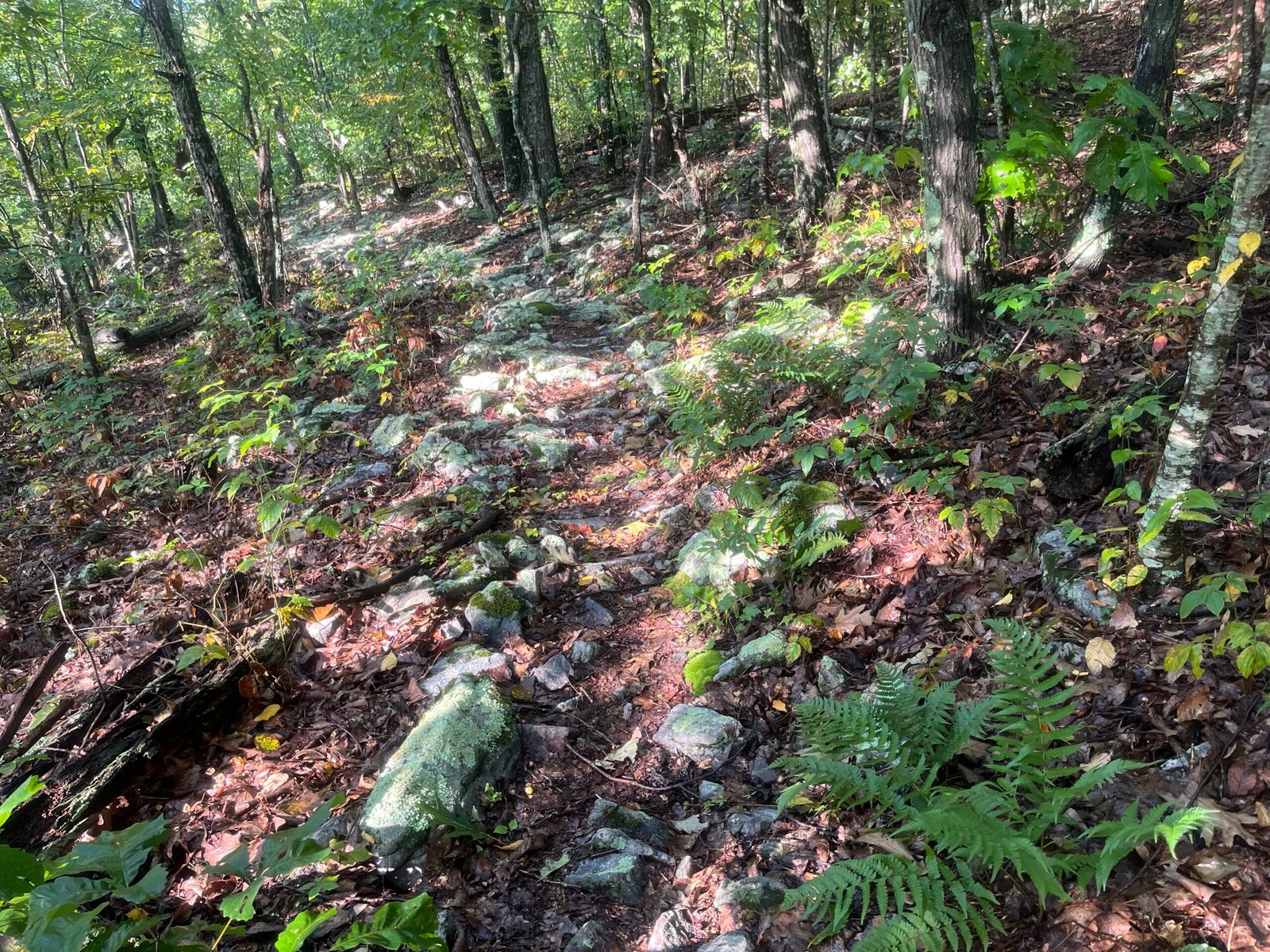
Descending Kerns on the way to Moreland Gap. The descent off Kerns isn’t much easier than the trail up top.
And that’s a wrap. Check out the 2026 Ring race report for even more photos (the best photos!) and a breakdown of how my day out on Orange shook out. Until next time.